Passengers on board Oceanwide vessel Ortelius recently charted an area in the northwestern Antarctic Peninsula that may have only been mapped twice since the Belgian Antarctic Expedition first surveyed it in 1898.
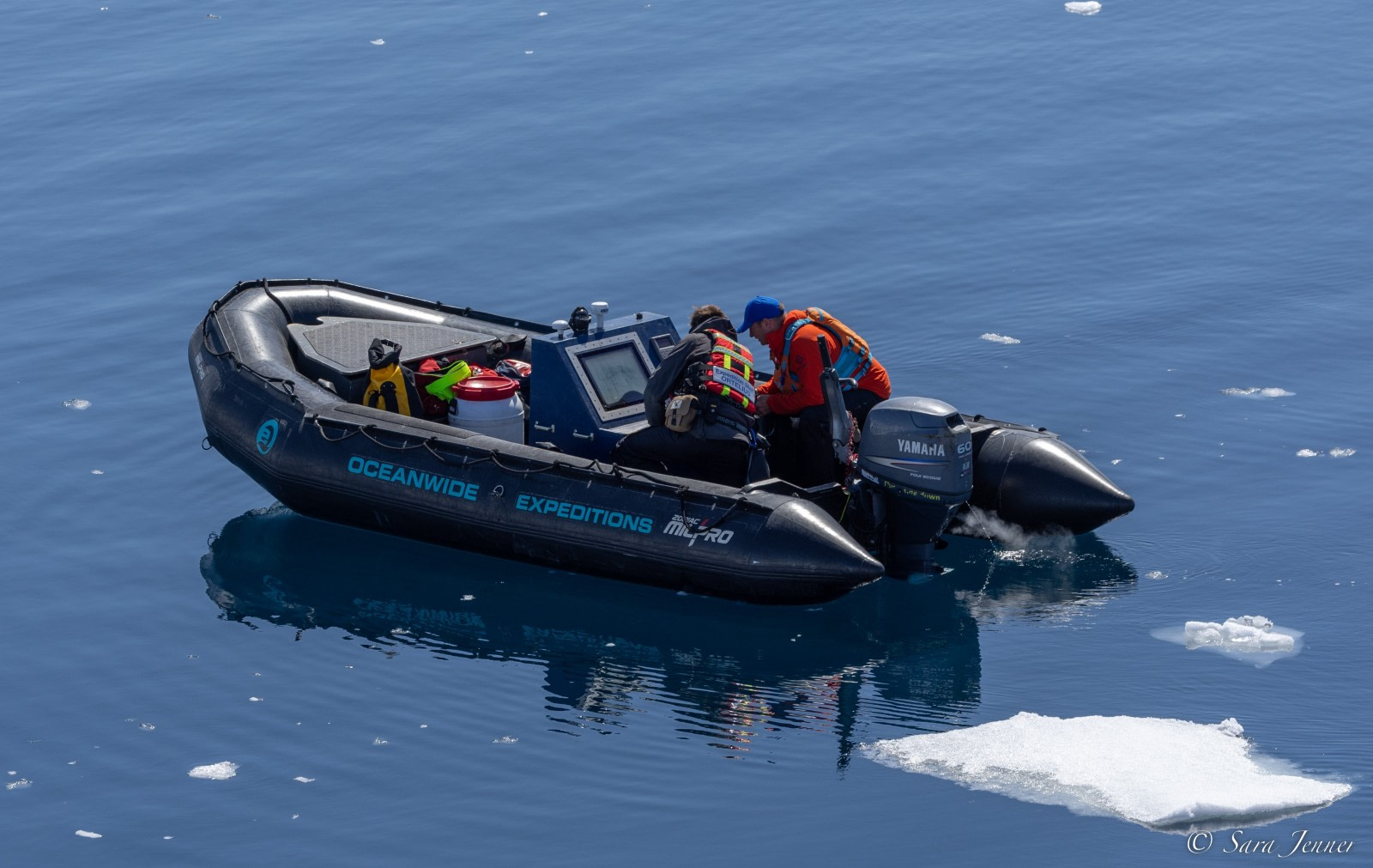
Guests, guides, and crew all helped chart a route around the largest of the Guyou Islands in Flandres Bay, returning to the ship late that evening. The team effort involved our expedition leader, field operations manager, second mate, and other members of our onboard staff.
The route was mapped using the Olex navigation and mapping system developed by Olex AS in the Norwegian city of Trondheim. Olex employs sonar and GPS to collect and continuously update sea depth data, producing 3D visualizations of the seabed in real time.
This activity was not just fascinating to Oceanwide guests and staff, it is also useful to seafarers at large: passengers were able to share their data with Olex AS, contributing to its database of more than five billion measured depths. This information can then be used in fishing, port work, aquaculture, and subsea piping, among other things.
Oceanwide passengers added their findings to an area that is thought to have only been charted twice since its discovery, with the last mapping taking place over a century ago:
- Belgian Antarctic Expedition in 1898
- French Antarctic Expedition in 1904
- French Antarctic Expedition between 1908-1911
- Oceanwide Expeditions on December 11, 2022
